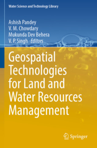
This book focuses on the application of geospatial technologies to study the land use land cover (LULC) dynamics, agricultural water management, water resources assessment and modeling, and studies on natural disasters. LULC dynamics is one of the major research themes for studying global environmental change using remote sensing data. The section on LULC dynamics covers the multi-variate criteria for land use and land cover classification and change assessment in the mountainous regions. Further, LULC change detection of the Tons river basin and LULC dynamics at decadal frequency are studied to derive adaptation and mitigation strategies. Landscape-level forest disturbance modeling, together with conservation implications, is also included. The watershed management approach is necessary for comprehensive management of land and water resources of any region, where studies on multi-criteria analysis for rainwater harvesting planning and its impact on land use land cover transformations in rain-fed areas using geospatial technologies are presented in this book.