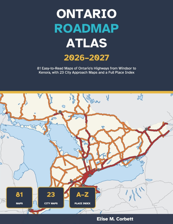
Plan every Ontario drive with maps you can actually read.
This road atlas was designed from the first page for drivers who want clear, uncluttered maps: bold high-contrast road colours that stay distinct for colour-blind readers, clear type, big 8.5 x 11 inch pages, and no map ever split across the spine. Every map was drawn by computer from open geographic data, not traced from another publisher's maps.
WHAT'S INSIDE
81 full-page colour maps:
• 52 regional maps covering Ontario's highway network from Windsor and Niagara to Ottawa, Sudbury, Thunder Bay and Kenora
• 23 city approach maps, including Toronto, Ottawa, Hamilton, London, Kitchener, Windsor, Niagara Falls, Kingston, Barrie, Sudbury, Sault Ste. Marie and Thunder Bay, with neighbourhoods named
• 3 key maps that send you straight to the right page
• Overview maps of the whole province, its numbered highways and the Far North
EASY TO FIND YOUR WAY
• A facing page for every map that lists its towns, highways and lakes, with grid squares
• An A-Z index of places and every numbered highway, with page and grid square
• Page tabs on every map edge pointing to the next page
• Highway route shields, a simple legend and scale bars in kilometres and miles
THE SENIOR DRIVER'S REFERENCE
• How to read Ontario's highway numbers and shields
• Approximate distances between 20 major centres
• Step-by-step trip planning at the kitchen table
• Winter driving and Ontario 511
• What to expect at licence renewal from age 80
• Roadside emergency steps and space to write your own important numbers
GOOD TO KNOW
• The Eastern and Central time line in the northwest is marked
• Where the year-round roads end in the Far North is shown
A dependable paper atlas for retirees, cottagers, snowbirds and family road trips, and a thoughtful gift for a parent or grandparent who still loves to drive.
This atlas shows the main highway network for trip planning; it is not a street atlas. Always follow road signs and check Ontario 511 for current road conditions.