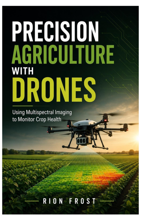
Precision Agriculture with Drones is a practical guide to using multispectral imaging to monitor crop health, map field conditions, and support better farm decisions.
This book explains how drones can help farmers, agronomists, surveyors, and agricultural professionals collect useful field data from above. Readers will learn how multispectral images, vegetation indices, crop maps, flight planning, georeferenced imagery, and field observations work together to reveal patterns that may not be easy to see from the ground.
Inside, the book covers drone flight planning, multispectral camera basics, NDVI concepts, vegetation index workflows, crop stress indicators, irrigation concerns, field scouting, orthomosaic crop maps, agricultural GIS, data organization, image review, and practical steps for turning aerial imagery into clearer crop-health information.
Written for farmers, drone pilots, agriculture students, GIS learners, field technicians, and professionals interested in precision farming, this guide provides a clear foundation for understanding how drone-based imaging can support crop monitoring.
Whether you are checking plant stress, planning farm surveys, reviewing field variability, or learning how multispectral data fits into modern agriculture, this book will help you approach drone crop monitoring with more structure and confidence.
Buy this book today and start learning how to use drones and multispectral imaging to monitor crop health more effectively.