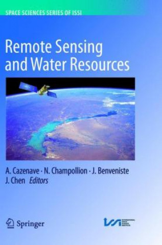
Könyv Remote Sensing and Water Resources A. Cazenave

Remote Sensing and Water Resources

Nyelv: Angol
Kötés: Puha kötésű
Elérhetőség: Beszállítói készleten
Küldés 8-11 napon belül
50 081 Ft
This book is a collection of overview articles showing how space-based observations, combined with h...


Információk a könyvről

Nyelv
Angol
Kötés
Könyv - Puha kötésű
Kiadva
2018
oldal
337
EAN
9783319812885
Enbook ID
20092738
Súly
5838
Méretek
155 x 235 x 16

Teljes leírás

This book is a collection of overview articles showing how space-based observations, combined with hydrological modeling, have considerably improved our knowledge of the continental water cycle and its sensitivity to climate change. Two main issues are highlighted: (1) the use in combination of space observations for monitoring water storage changes in river basins worldwide, and (2) the use of space data in hydrological modeling either through data assimilation or as external constraints. The water resources aspect is also addressed, as well as the impacts of direct anthropogenic forcing on land hydrology (e.g. ground water depletion, dam building on rivers, crop irrigation, changes in land use and agricultural practices, etc.). Remote sensing observations offer important new information on this important topic as well, which is highly useful for achieving water management objectives. Over the past 15 years, remote sensing techniques have increasingly demonstrated their capability to monitor components of the water balance of large river basins on time scales ranging from months to decades: satellite altimetry routinely monitors water level changes in large rivers, lakes and floodplains. When combined with satellite imagery, this technique can also measure surface water volume variations. Passive and active microwave sensors offer important information on soil moisture (e.g. the SMOS mission) as well as wetlands and snowpack. The GRACE space gravity mission offers, for the first time, the possibility of directly measuring spatio-temporal variations in the total vertically integrated terrestrial water storage. When combined with other space observations (e.g. from satellite altimetry and SMOS) or model estimates of surface waters and soil moisture, space gravity data can effectively measure groundwater storage variations. New satellite missions, planned for the coming years, will complement the constellation of satellites monitoring waters on land. This is particularly the case for the SWOT mission, which is expected to revolutionize land surface hydrology. Previously published in Surveys in Geophysics, Volume 37, No. 2, 2016

Érdekelheti

7 416 Ft
4 215 Ft

The Ghost Camp

Rolf Boldrewood
3 843 Ft
17 369 Ft

Quantum Trajectories

Pratim Kumar Chattaraj
40 757 Ft

Medical Apologetics

KRIS F. FRENCH MD
7 133 Ft
7 874 Ft
16 426 Ft
11 744 Ft
74 794 Ft
8 754 Ft

Joining the Fray

Zachary C. Shirkey
86 681 Ft

Micropile Design and Construction Guidelines

D Federal Highway Administration (Fhwa)
12 372 Ft

Early Language Learning

Carol M. Saunders Semonsky
40 443 Ft

How To Pass Exams

Dominic O´Brien
5 710 Ft
5 423 Ft

Azok a vásárlók, akik ezt a könyvet megvásárolták, a következőket is megvásárolták