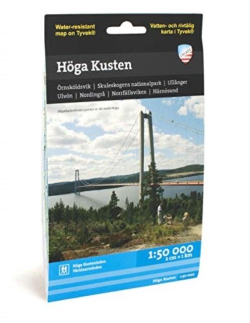
Nyomtatványok Hoga Kusten

Hoga Kusten

Nyelv: Svéd
Kötés: Térkép
Kiadó: Calazo Forlag
Elérhetőség: 50 % esély
Keressük az egész világon
6 720 Ft
This map is designed for anyone interested in the High Coast. It is as much a traditional terrain ma...

Információk a könyvről

Nyelv
Svéd
Kötés
Nyomtatványok - Térkép
Kiadva
2022
oldal
1
EAN
9789186773267
Enbook ID
45821834
Kiadó
Súly
53
Méretek
130 x 210

Teljes leírás

This map is designed for anyone interested in the High Coast. It is as much a traditional terrain map for the hiker as a sea and coastal map for those who want to paddle a kayak. The entire stretch of the Hoegakustenleden hiking trail can be found on the map, as well as the World Heritage Trail and, of course, the Skuleskogen National Park. The high coast kayak trail is marked on the map as well as services out on the coast such as accommodation, archipelago traffic, campsites, saunas etc. We have come to the conclusion that the best material for a map is Tyvek (R). It is made of a synthetic fiber that makes the map completely insensitive to water and very tear-resistant. A Tyvek map will not tear in the folds or lose color when you use it.

Azok a vásárlók, akik ezt a könyvet megvásárolták, a következőket is megvásárolták